This adventure has ended
Sat, Sep 5 · 6:00 AM PDTHosted by Summerlin+ and Las Vegas Outdoors
UPDATE: rain expected Sunday - hike moved to Saturday.
Escape the concrete and join us for a perfect early morning on the ridge! If you are looking for a welcoming crew, panoramic desert views, and a solid outdoor workout without intense rock scrambling, this is your hike.
A "no hiker left behind" community - whether coming alone to meet new friends or bringing a buddy, you will find a great pace and friendly conversation to kick off your weekend morning.
Note: since this hike is cross-posted to a Meetup group, the number of attendees shown here will always be less than the actual number of total participants.
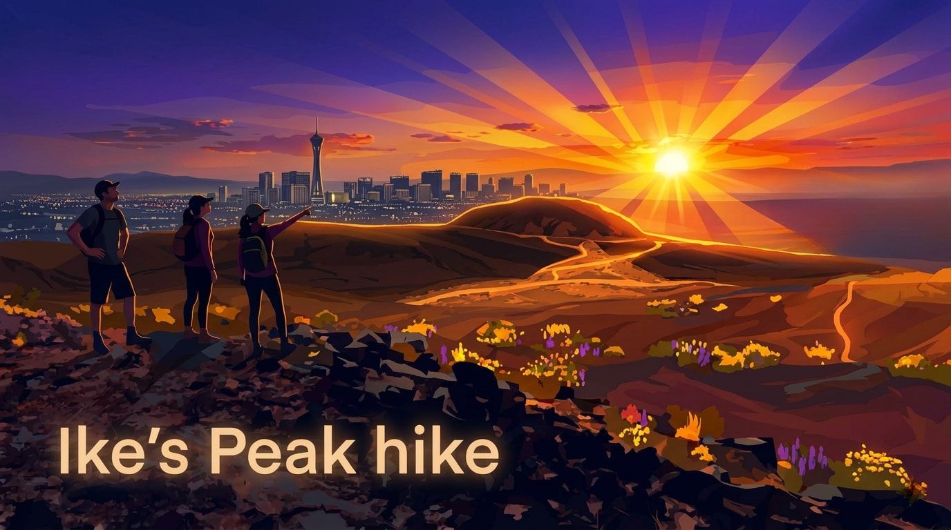
The Reward: An incredible sweeping view from top of Ike's Peak looking north to Summerlin and Lone Mountain, east to Las Vegas Strip or back toward the southwest valley and Rhodes Ranch.
The Trail: A fun, varied 4.7-mile intermediate route with 650 feet of elevation gain. We use an old mining road before hitting a scenic mountain ridge trail.
Start Time: 6:00 AM (more than 5 minutes late? -- spot us walking up the hill.)
Difficulty: Intermediate - relatively easy for seasoned hikers, a fun challenge for beginners—with no scrambling required.
Distance/Time: ~4.7 miles (about 2.5 to 3 hours via ridgeline trail & return via Good Call Loop).
Pace: Social and steady. We share the trail with advanced mountain bikers, so we stay aware and hike together.
🐾 Dogs: Well-behaved, leashed trail pups are welcome!
Footwear: HIKING SHOES REQUIRED. No tennis shoes or sneakers allowed. The ridge trail, often over lava rock terrain, requires solid traction for your safety.
Hydration/Snacks: Recommend 1.5–2 liters of water and light trail snack.
Vibe Check: Friendly chat is highly encouraged! To keep our community inclusive and relaxed, we have a strict no national politics or religion policy.
GPS Pin: 📍 Google Maps Parking(google.com) Link (Coordinates: 36.0534, -118.444)
Reference Address: 10000 Cougar Avenue, Las Vegas, NV 89178 (For GPS framing only—street parking available on the first two blocks of Cougar Ave).
Meeting Spot: We park along Cougar Avenue. Do not park near flood control basin dam.
Head South on Fort Apache Rd past Warm Springs and Rhodes Ranch.
Turn right (West) onto Ford Avenue (by Forbuss Elementary).
At end of Ford, turn right (North) on Reynolds Spring Rd, then a quick left onto Cougar Avenue.
(Coming from Henderson or Southern Highlands? Take Blue Diamond Road/H-160 West, exit north on Ft. Apache Road, and then turn left on Ford Avenue).
- Note: Most RSVPs come through a larger (cross-posted) group on Meetup.
- If weather forecast is bad, the hike may be shifted to Saturday at 6:00 AM.
Photos(1-dot.com) • Hourly Weather(wunderground.com) • UV (sun)(uvindextoday.com)
Southwest hike maps(imgur.com) maps • Summerlin+ Las Vegas Outdoors(facebook.com)
REQUIRED READING (legal information, etc.)(1-dot.com) • Poplinks / Streaming(1-dot.com)
Parking(imgur.com) • Vegas weather(weather-atlas.com) • 10-day forecast(weather-atlas.com)
When
Sat, Sep 5 · 6:00 AM PDT